Loading

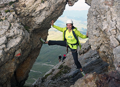
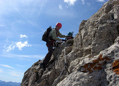
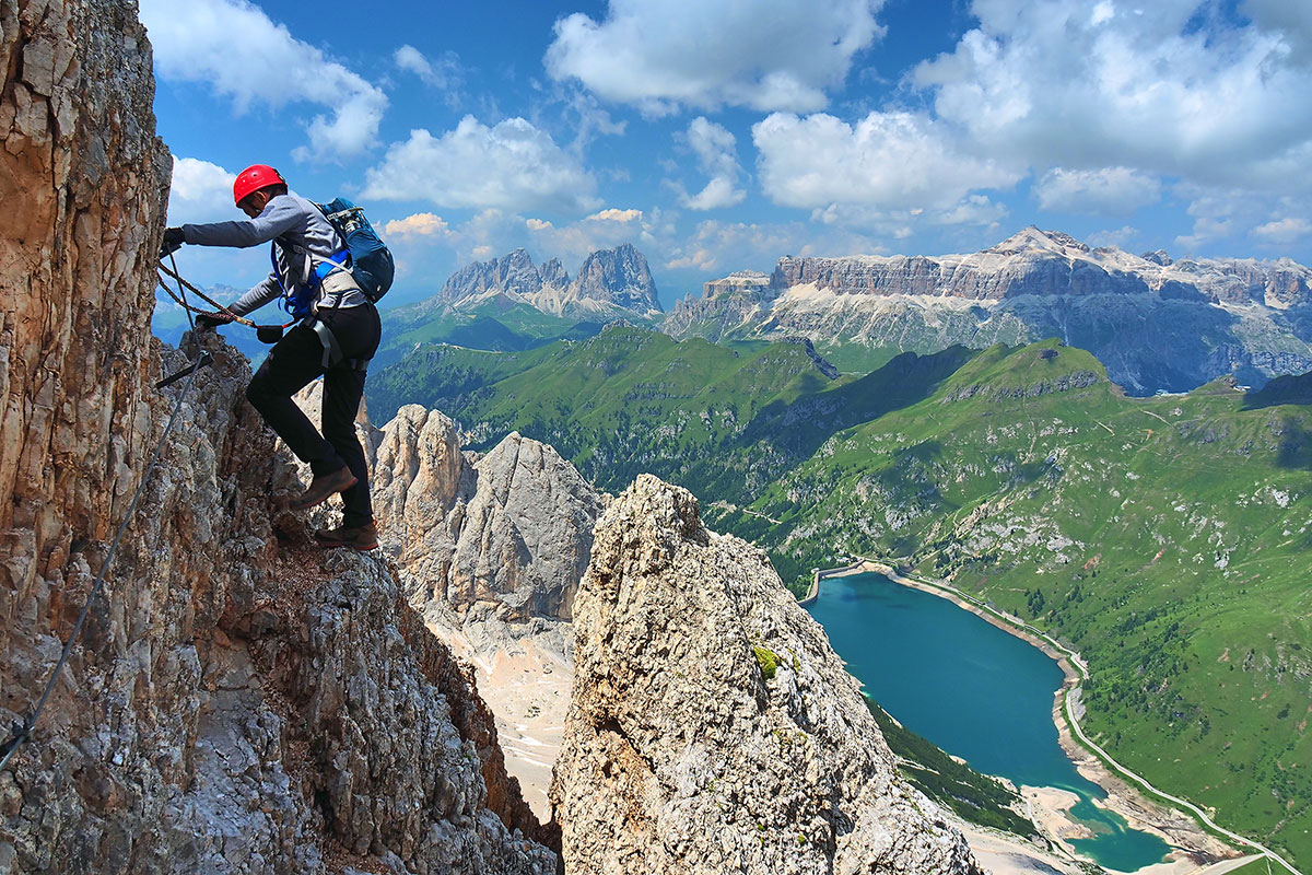
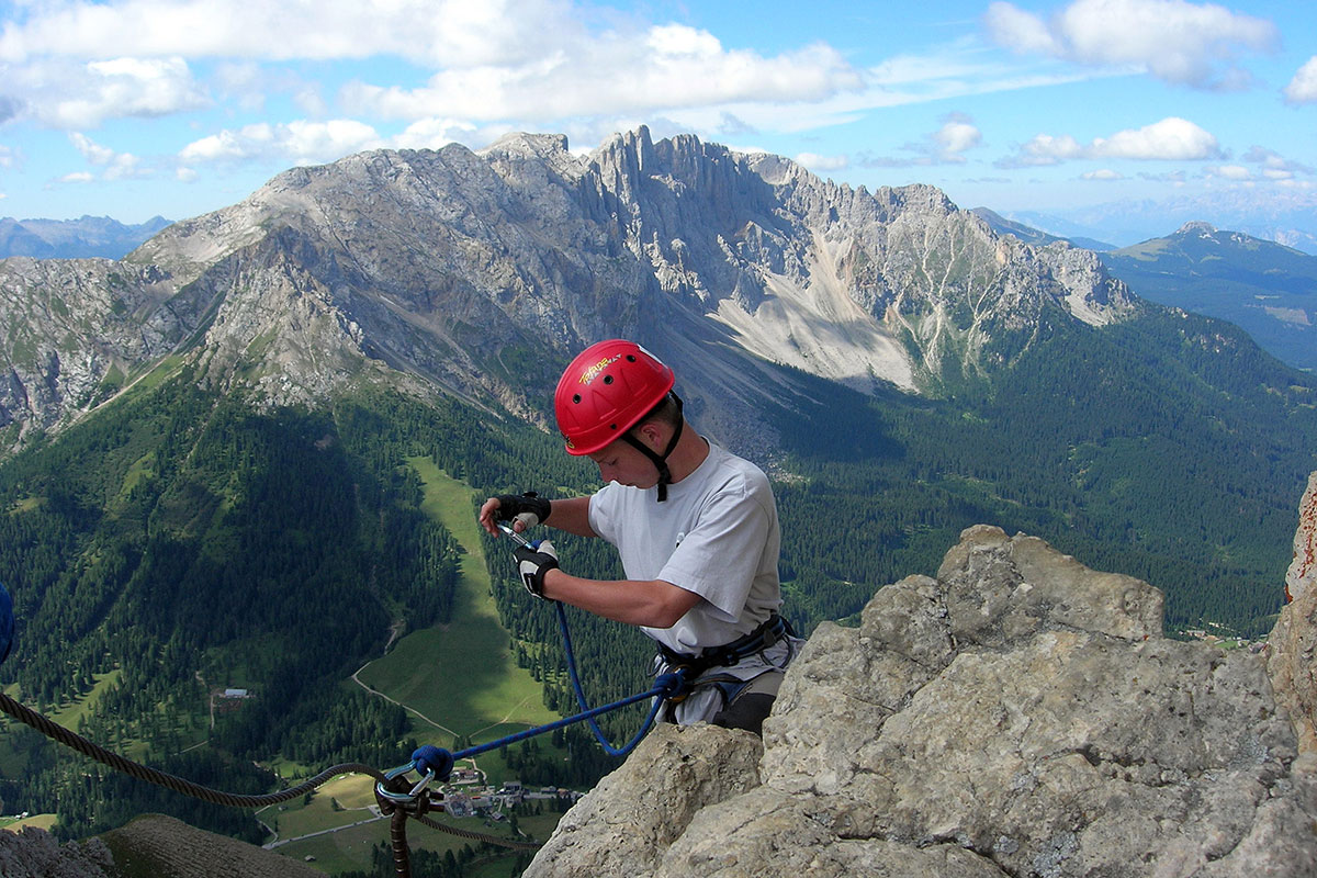
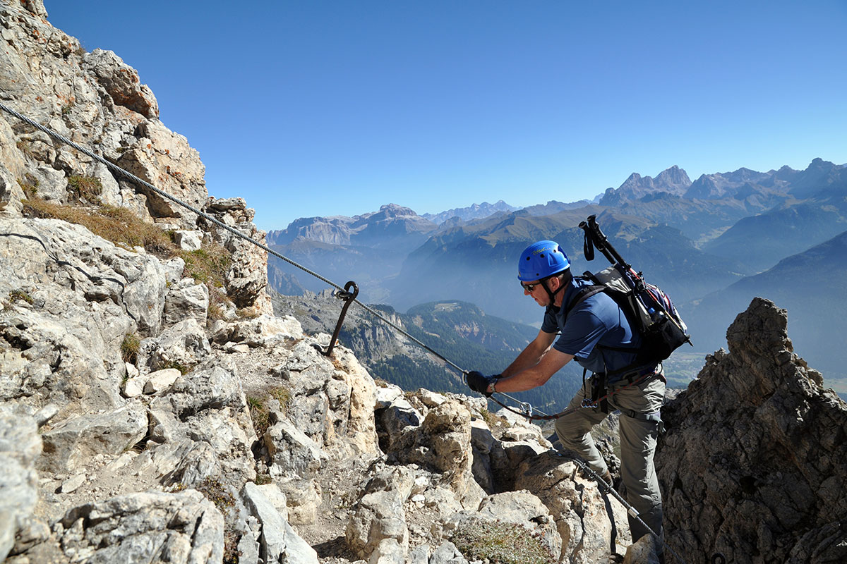
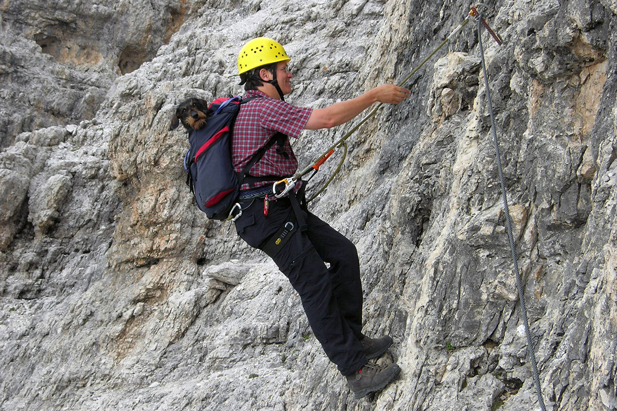
If you haven't tried it yet and would like to, you should give it a go! There are many opportunities here to give in to this attraction. Several via ferratas, from easy to moderately difficult, are located in the centre of the Catinaccio area, in King Laurin's kingdom. Various alpine schools offer their services. A hard-won summit experience is always an unrivalled adventure. You can hire the equipment from us free of charge.
WStarting point: Berghotel Piné
Level of difficulty: medium (physical endurance required)
Total walking time: 9 1/2 hours ( includes Berghotel Pine-Schlernhaus 4 hours, Schlernhaus-Tierser Alpl 2 ½ hours, Tierser Alpl- Hotel Pine 3 hours)

Duration:2 h
Length: 3 km
Altitude:200 m
Start: Alpe di Tires
Destination: Alpe di Tires
After the narrow ravine between the Campo Cavallo and the Eastern Campo Cavallo via rock stairs you first reach a ridge (a most beautiful view of Alpe di Siusi), and you then take the left path to the peak and the highest point, 2630 m.
Duration:5 h
Length: 9 km
Altitude:1390 m
Start: Paolina Hut
Destination: Paolina Hut
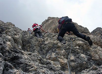
Croda Rossa fixed-aid climb:
Paolina Hut, 2125 m. Excellently secured fixed-aid climb via the northern ridge to Croda Rossa Peak, the main peak of the southern Catinaccio Group, 2806 m. Variation: Descent to Rotwand Hut (secured path) or below Fensterleturm, continuation of Masarè fixed-aid climb and return to Paolina Hut. Masarè fixed-aid climb:
Rotwand Hut, 2280 m. This rocky path is connected to the Croda Rossa fixed-aid climb at the south and leads from Rotwand Hut to Punta Pasarè, 2585 m. From here descent to Rotwand Hut.
Duration: 5 h
Length: 6 km
Altitude: 800 m
Start: Rosengarten Hut
Destination: Frommer Hut
Rosengarten Hut, 2339 m, the most beautiful ascent to Catinaccio surrounded by rough walls and peaks offering a splendid view.
After about 2.5 -3 hours you reach Santner Hut, 2734 m. Return on the same route or on path no. 542 via Gartlhütte Hut to Vajolethütte Hut, then on paths no. 541 and 550 via Tschagerjoch back to Rosengarten Hut.

Starting Point: Karerpass ( can be reached by bus or car)
Level of difficulty: medium
Total walking time: 6 hours

Starting point: Berghotel Pinè
Level of difficulty: very difficult (sure footedness and no fear of heights required, not for beginners!)
Total walking time: 9 1/2 hours

Duration:4,5 h
Length: 3 km
Altitude: 400 m
Start: Grasleitenpass Hut
Destination: Grasleitenpass
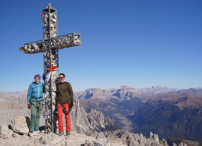
Grasleitenpass Hut, 2599 m. The Catinaccio d'Antermoia, 3004 m, is the highest mountain of the Catinaccio Mountain Group and is believed to be one of the most beautiful viewpoints in the Dolomites. The peak of Catinaccio d'Antermoia can be achieved from the western or eastern ascent.
Duration: 7 h
Length: 14 km
Altitude: 1200 m
Start: Obereggen
Destination: Obereggen
Obereggen, 1550 m; ascent to Latemar Peak, descent to Schorte (Bivak Rigatti). Start of the fixed-aid climb on the south-side of Latemar from east to west.
Duration: 4 h
Length: 9 km
Altitude: 500 m
Start: Gardeccia Hut
Destination: Rif. Antermoia
The Scalette Path is also called Larsec Path. Larsec is the name of the rather unknown mountain range located east of the Catinaccio Mountain Group. The path leads from Gardeccia Hut through the Larsec Group to Antermoja Hut, 2497 m.


